Engineering consulting
Preparing the cadastral survey
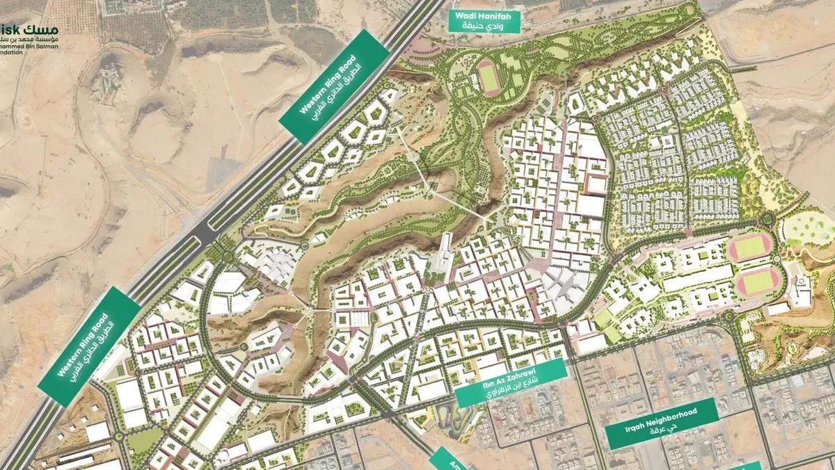
Every design and construction decision depends on knowing exactly what is on the ground. Plot boundaries, levels, existing structures and utilities all affect what can be built and how. The surveying service from VARIO (Al-Mukhtalef) provides high-accuracy survey data using modern techniques and specialized equipment, giving designers and contractors a reliable foundation for their work.
Accurate Measurements and Data
Survey work records the physical characteristics of a site with precision. Depending on the project, this may include:
- Boundary and cadastral surveys to establish plot limits and areas.
- Topographic surveys recording levels, contours and natural features.
- Surveys of existing buildings, roads and structures on or near the site.
- Location of visible utilities and services.
- Setting out of buildings and infrastructure during construction.
High accuracy in measurements and data reduces the risk of errors that can affect permits, design and construction, such as incorrect plot areas, setbacks or levels.
Modern Surveying Technology
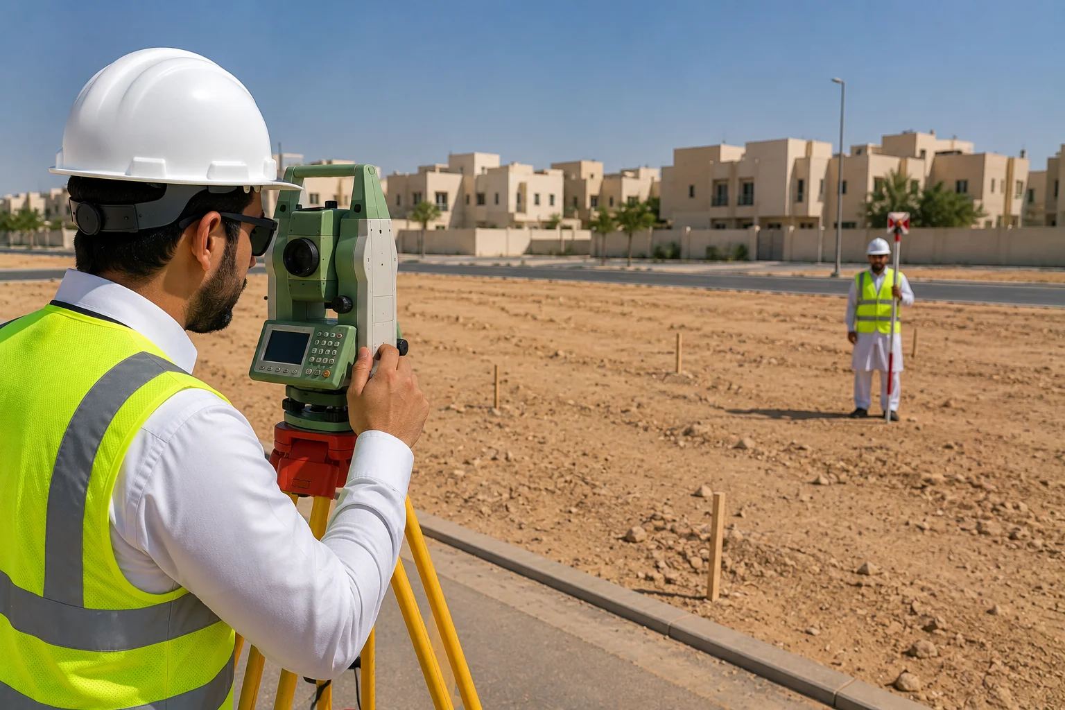
Modern surveying equipment, such as total stations and satellite positioning systems, allows data to be captured efficiently and accurately. Field data is processed into survey drawings and digital files that can be used directly by architects, engineers and planners, reducing the need to re-enter information and the potential for mistakes.
Supporting Design and Execution
Survey data is used throughout the project life cycle. At the start, it supports feasibility studies, planning and permit applications. During design, it informs site layouts, grading and drainage. During construction, setting out ensures that buildings and infrastructure are built in the right positions and at the correct levels, and as-built surveys document the completed works.
Why VARIO
As part of an integrated engineering consultancy, the VARIO (Al-Mukhtalef) survey service is closely linked to our design, planning, infrastructure and supervision teams. This integration means that survey data is captured with its end use in mind, helping projects proceed efficiently and achieve better results.
What distinguishes this service
Need this service?
Contact our specialized team for a free consultation and detailed quote.
Service Info
Category
الاستشارات الهندسية
Features
3 features